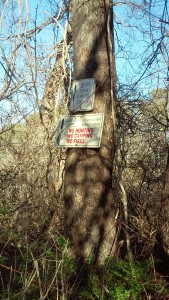
Trail entrance: Well hidden despite the signage
After about 45 minutes of aimless driving around, we decided to give up and get lunch. Luckily for us, the bartender was a Chatham local who had spent time with her high school chemistry class doing water testing at the Frost Fish Creek Trail. She explained that we were exactly where we needed to be, that the Chatham high School was no longer in existence, so the Middle School we saw was the correct landmark. She also said that the path leading to the trail was on the road we had driven down.
Armed with the knowledge that the trail did indeed exist, we retraced our way back to the area and parked our car at the Monomoy Regional Middle School, crossed the street and walked down the closest road – the name of which escapes me now. These directions would have been helpful at one of these websites! As would have the update that there is no Chatham High School! Anyway we walked down the road and literally walked into someone’s yard, as it seemed to be the closest thing to a path. Somewhat afraid that a large dog would come charging at us any minute, we commented that noone seemed to be around and at that moment heard movement in one of the backyards – so we moved a bit faster! Suddenly we came across a sign “Frost Fish Creek Trail” along with NO HUNTING. This gave us some relief as we were concerned about being mistaken for deer – it’s been quite a common occurence lately on Cape Cod.
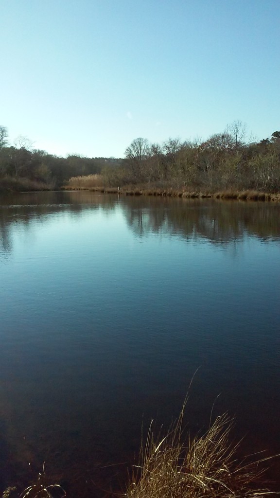
We walked the trail, along Frost Fish Creek. It was quite short, and small in acreage – the Frost Fish Creek Trail development we happened upon earlier took up much of it unfortunately. It was peaceful and quiet, but the meditation I mostly had on this hike was about land use – and how sad in a gorgeous and affluent place such as Chatham the amount of undeveloped land was laughable. If this was a landmark, a place written up as a nature trail, broken up by a huge development – I can’t see how any wildlife would be able to maintain a home in Chatham. The coastline on Cape Cod has been overdeveloped for years (try finding a space on a public beach in on Cape Cod in the summer), and now anywhere seen as a “water view” is prime real estate, so it makes sense that no stone would remain unturned – literally – in an area so lusted after for summer and vacation homes.
If you are interested, here is a list of the other three trails on the Chatham Chamber of Commerce website. Perhaps we will go back and give Chatham trails a second try, but it won’t be for a while. I can’t imagine that these are very large, since the Frost Fish Creek Trail was listed as a 45 minute to 1 hour walk, and it took us all of 20 minutes to walk it.
Trail #2: BARCLAY PONDS TRAIL – Old Queen Anne Road and Training Field Road. Entrance to trail is at Yield Sign, 20 feet south of telephone pole #38 in intersection. Park in field (Crowell’s Pit) north of entrance. Quiet, woodsy walk some up and down hill. Approximately 1/2 hour, 12 acres.
Trail #3: HONEYSUCKLE LAND, OFF STAGE HARBOR ROAD – Bottom of hill, left side of road are two short trails leading to the Old Ice Pond. Many water birds are generally seen in this area. Right side of road near telephone pole and along side of narrow stream, a short walk featuring white cedar trees. Also, leading to other trails in and around the Cedar Swamp, which is mostly owned by the Town of Chatham.
Trail #4: GEORGE RYDER ROAD, SOUTH TRAIL – Opposite West Chatham A&P and George Ryder Road, take George Ryder Road South to first right (Harold’s Lane). Take first right off Harold’s Lane (Ralph Street) onto short paved road ending in a dirt road. Entrance to walk is on your left. Ralph Street is the bog owner’s entrance to his working cranberry bog. Please don’t block entrance or neighbor’s driveways. Woods, cranberry bogs, brackish marsh. Approx. 15 minutes, 2.5 acres.

Frost Fish Creek Trail in Chatham
June 16 2019
I walked this trail this morning, and would like to add an update to Leah’s comments from 12/31/2014.
Since her report things seem as if they have changed quite a bit. The short, shell strewn road to the trailhead is very well marked from the road, just past Frost Fish Hill if you are traveling north on Rt.28 from north Chatham. There is parking for about 3 cars.
The low trail follows along the creek and is very obvious, and the high trail elevates with small hills and valleys with peek-a-boo views of the old cranberry operation, that is now a marsh. There were a couple of places that the high trail seemed divided and were a bit confusing, but I figured that people were just trying to get closer for a view- very short side trails that were easy to retrace your steps and get on track. Beware of lots of poison ivy on your walk. We did not see any houses on the low trail- they were all across the creek. We did not see any on the high trail, either, maybe because there were lots of leaves on the trees. We never felt as if we were walking through someone’s yard at any time, as we parked at the Conservation parking lot. A nice walk on a cloudy, breezy day in June, about 45 minutes at a leisurely pace, with lots of stops to look at sights, trees, and birds. They have a wonderful website : https://chathamconservationfoundation.org